
Discussion - Member to Member Sales - Research Center
Discussion - Member to Member Sales - Research Center
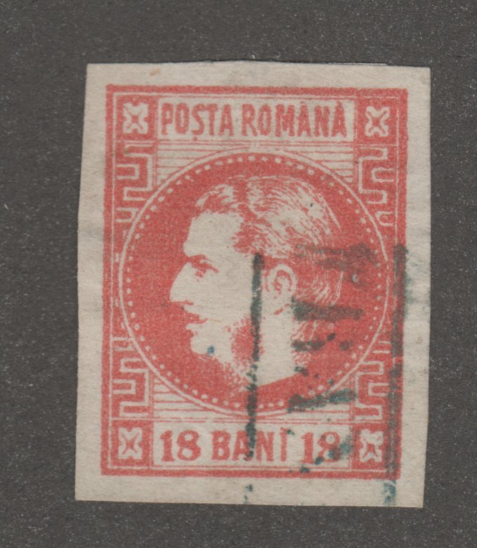
Below are two pages I thought I'd share... Africa and Eastern Europe. The stamp and map images are just from internet searches, so not my own or from my collection. something to work towards in future, yeah?
(Links to 2048x1582 186dpi JPEG images, my originals are for 11" x 8.5" @ 600dpi printed so are 25MB each)
Box.com Africa 2048

Box.com Eastern Europe 2048


8 Members
like this post.
Login to Like.
I love geography, and will have to try that idea out with my "wallpaper" topicals.
1 Member
likes this post.
Login to Like.
Great idea! I especially like how you’ve included collateral artifacts along with stamps. Sheets like that could be framed and displayed in one’s man cave or woman’s turret,* or placed in a sheet protector and binder, or used in a philatelic exhibit on-line or off. Old atlases can be good sources for maps that are contemporaneous with older stamps.
I would only display common “wallpaper” stamps in frames. My stamp club once invited a paper conservator from the Vancouver Archive to speak to us. Among the interesting things she told us was that all paper documents, including stamps and covers, will fade over time, even in complete darkness.
There’s a small war museum in Vancouver’s Chinatown dedicated to Chinese-Canadians who served in the Second World War. On display is (or was) a free-franked cover and letter posted by a soldier from a combat zone. Unfortunately, it was in a frame near a small window and had faded so much that most of the writing was illegible.
Bob
1 Member
likes this post.
Login to Like.
My career depended on a solid knowledge of geography. Name a major city and I could likely tell you the country and airport code. However when it comes to to identifying stamps I think a bit more knowledge of history would have helped me. Countries that no longer exist or changed their name…
1 Member
likes this post.
Login to Like.
You worked for an airport?
Cool!
Do you know the code for USSR Moscow?
Login to Like
this post

So I've been sorting boxes of stamps... okay, not large boxes but 2.5" floppy boxes... by country. I had them sorted by region (Europe, Eastern Europe, Africa, etc.) then was sorting by country. Well, my geography brain isn't the best... getting a lot better with all these stamps. I was sorting in piles based on where in my head the countries were on the map, then I thought "why not print a page with a map to sort on?" I also wanted to learn Affinity Publisher, so I went to it. It's kinda like digital scrapbooking. The resulting images when printed I put in a typing copy holder under plexiglass.
Below are two pages I thought I'd share... Africa and Eastern Europe. The stamp and map images are just from internet searches, so not my own or from my collection. something to work towards in future, yeah?
(Links to 2048x1582 186dpi JPEG images, my originals are for 11" x 8.5" @ 600dpi printed so are 25MB each)
Box.com Africa 2048
Box.com Eastern Europe 2048
8 Members
like this post.
Login to Like.

Approvals
re: Stamp Sorting Graphic
I love geography, and will have to try that idea out with my "wallpaper" topicals.
1 Member
likes this post.
Login to Like.

re: Stamp Sorting Graphic
Great idea! I especially like how you’ve included collateral artifacts along with stamps. Sheets like that could be framed and displayed in one’s man cave or woman’s turret,* or placed in a sheet protector and binder, or used in a philatelic exhibit on-line or off. Old atlases can be good sources for maps that are contemporaneous with older stamps.
I would only display common “wallpaper” stamps in frames. My stamp club once invited a paper conservator from the Vancouver Archive to speak to us. Among the interesting things she told us was that all paper documents, including stamps and covers, will fade over time, even in complete darkness.
There’s a small war museum in Vancouver’s Chinatown dedicated to Chinese-Canadians who served in the Second World War. On display is (or was) a free-franked cover and letter posted by a soldier from a combat zone. Unfortunately, it was in a frame near a small window and had faded so much that most of the writing was illegible.
Bob
1 Member
likes this post.
Login to Like.

re: Stamp Sorting Graphic
My career depended on a solid knowledge of geography. Name a major city and I could likely tell you the country and airport code. However when it comes to to identifying stamps I think a bit more knowledge of history would have helped me. Countries that no longer exist or changed their name…
1 Member
likes this post.
Login to Like.
Approvals
re: Stamp Sorting Graphic
You worked for an airport?
Cool!
Do you know the code for USSR Moscow?
Login to Like
this post